Conquering Umyeon Mountain

Between my home and my workplace is a mountain. I can see it from my balcony, looming up out of the density of apartment buildings. It’s there each day as we take our post-lunch constitutional around the odd little neighborhood of single-family homes that backs up against the Samsung R&D Campus. If you look at it on Kakao Map, you’ll see that there are trails running along it, but none that link Umyeon-dong, where I work, with Seocho-dong, where I live.

Still, the gap between the last marked road and the first marked trail looked to be no more than 500 meters. How hard could it be? I’ll admit that I’ve been feeling a burst of confidence since I got a surprise promotion on Wednesday. Success in one domain doesn’t necessarily translate to success in another, but what the hell? It was clear and cool and I had a couple of hours until sundown.

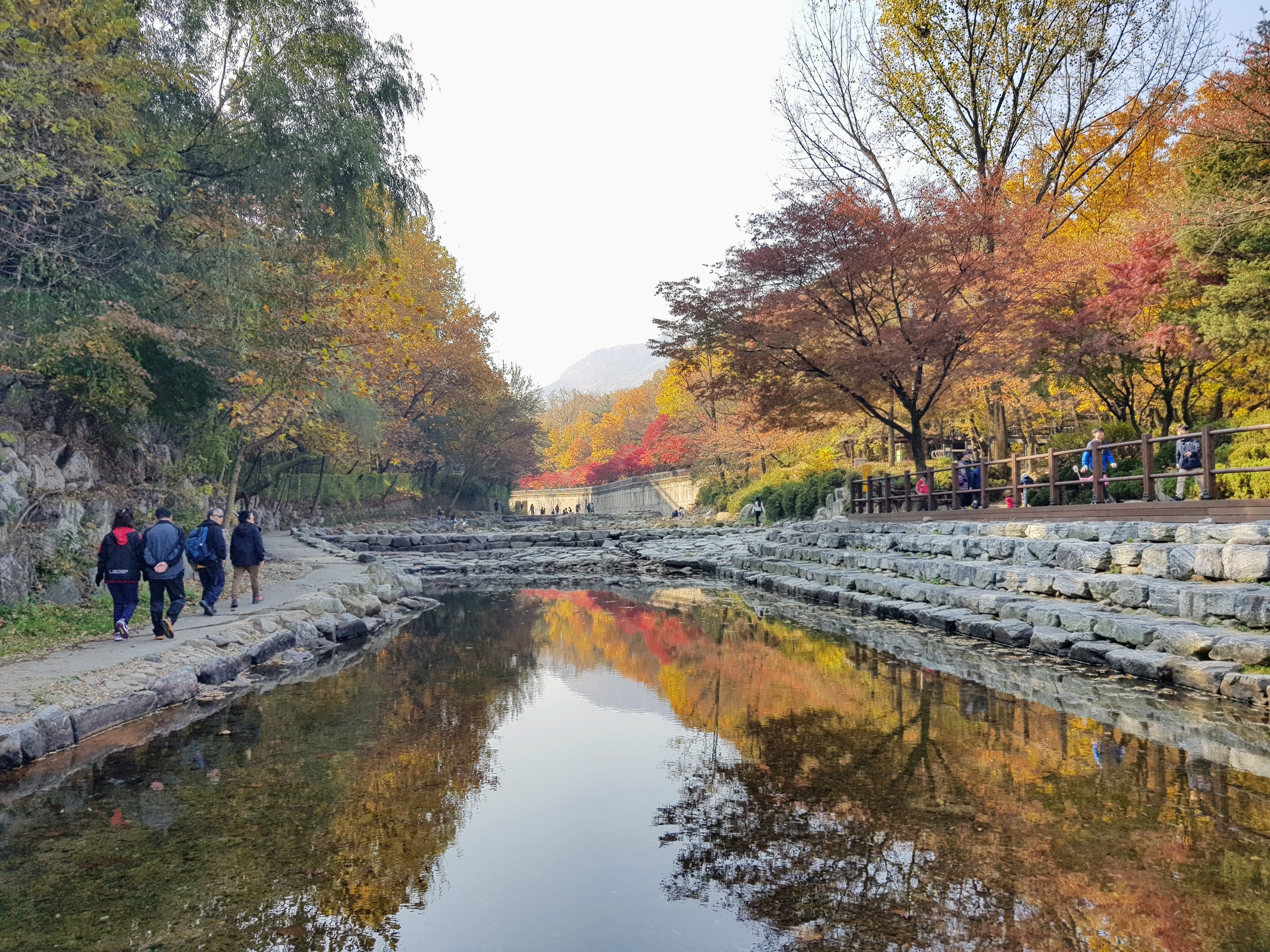
I was aided in the first stretch by Korea’s relentless improvements. A new ecological park is being put in, and though there are great roles of jute carpeting still to be laid, the trails are in, and the railings and signposts too. After a while, though, the trail began to loop back down. I could see on my GPS the trail that would take me home, no more than four or five hundred meters away. And up.

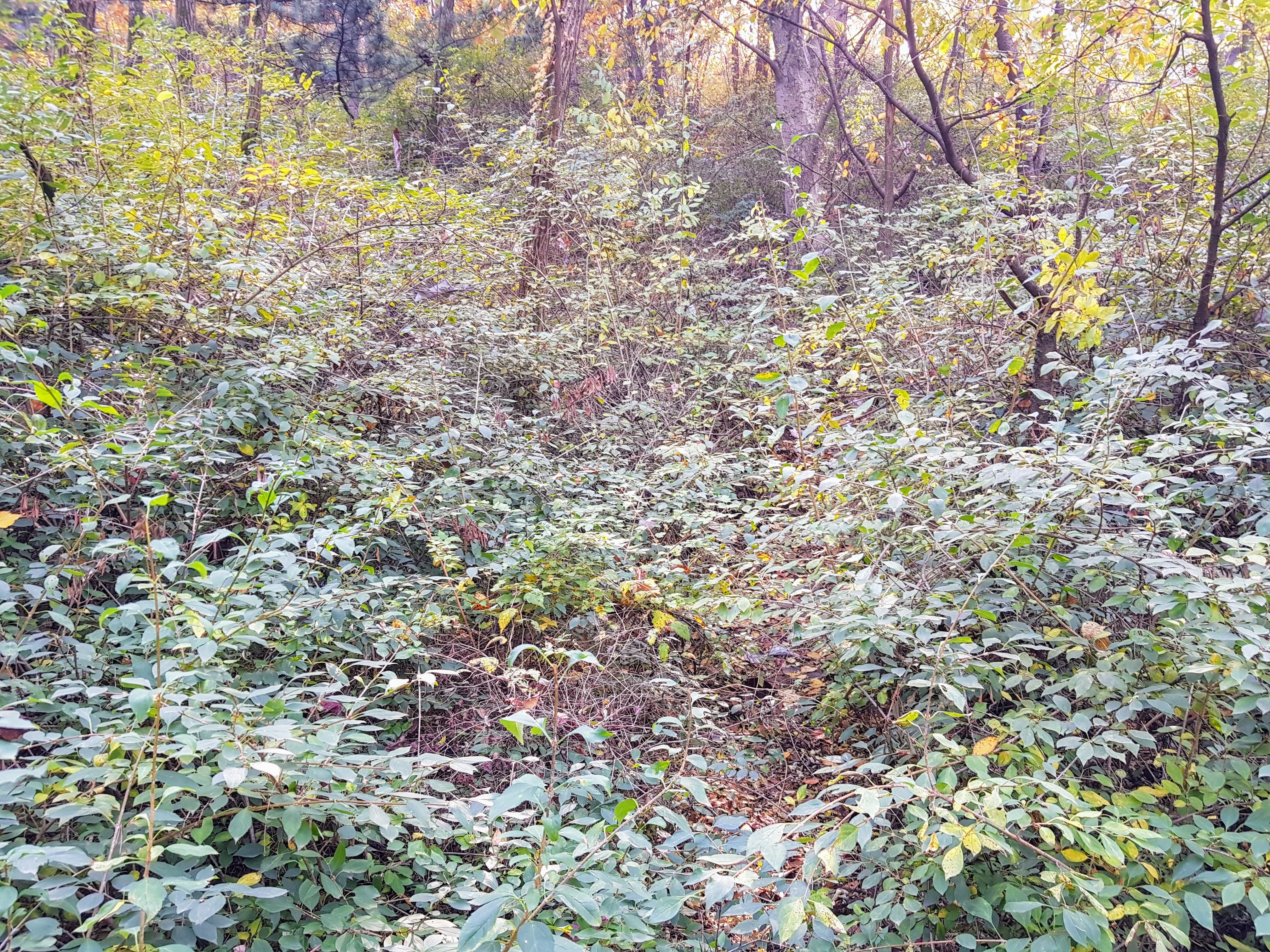
Between me and the trail was a steep slope, covered in gray-brown leaves. It looked slippery, and I wasn’t in the best shoes for it. Do it anyway. Once I’d gone up a ways, there could be no turning back — no sliding down those slippery leaves in the encroaching dusk. So I kept going, picking out here and there what seemed like rough bits of trail. Crows laughed at me overhead. At 5:30, an electronic Last Post wafted in from a military post on a nearby ridge.

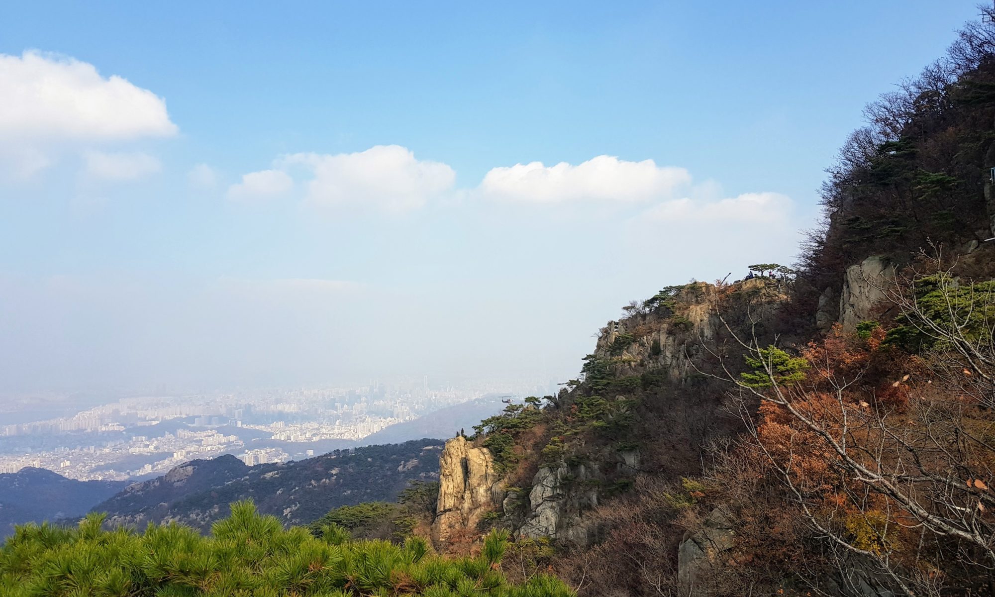
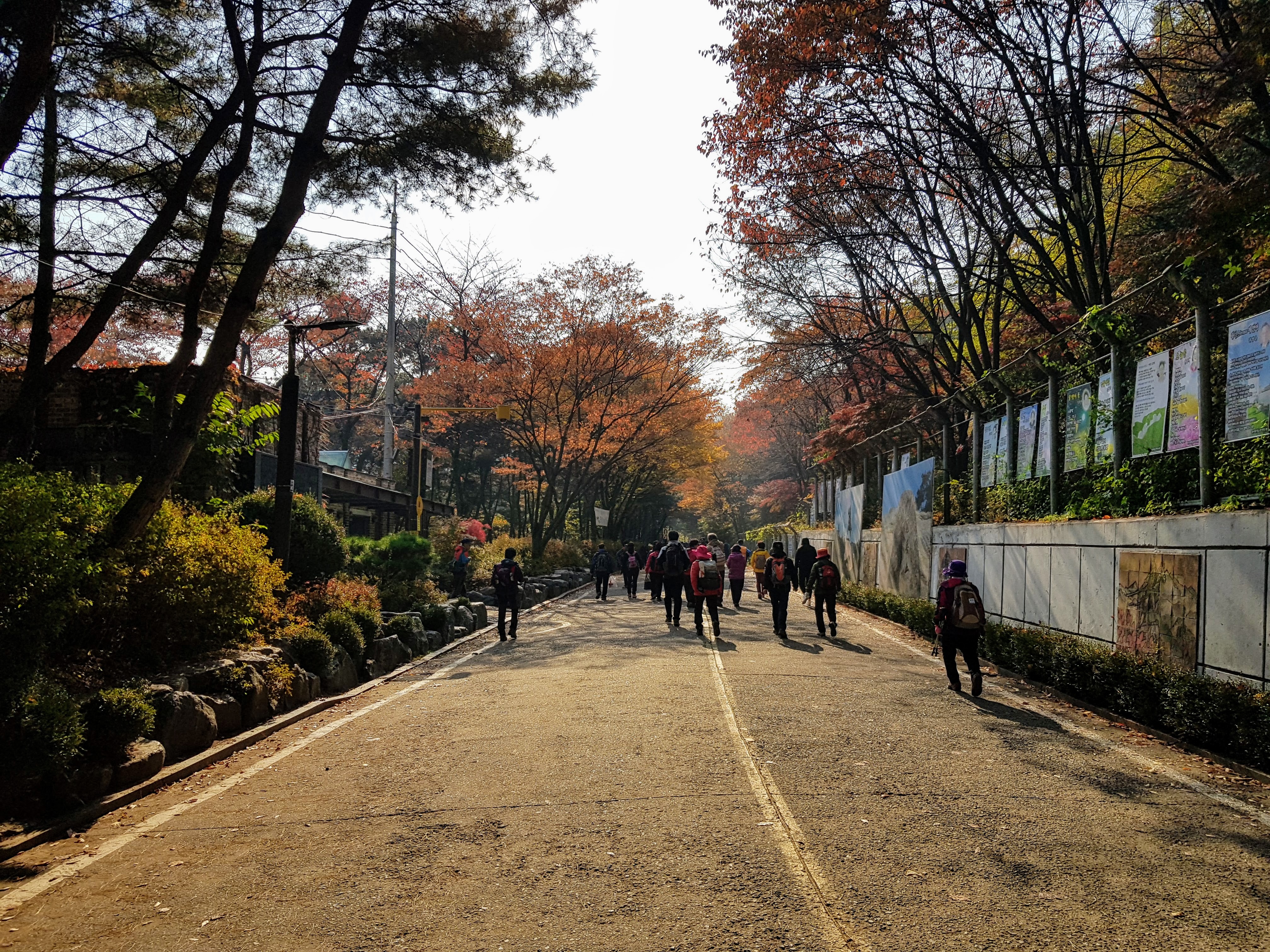
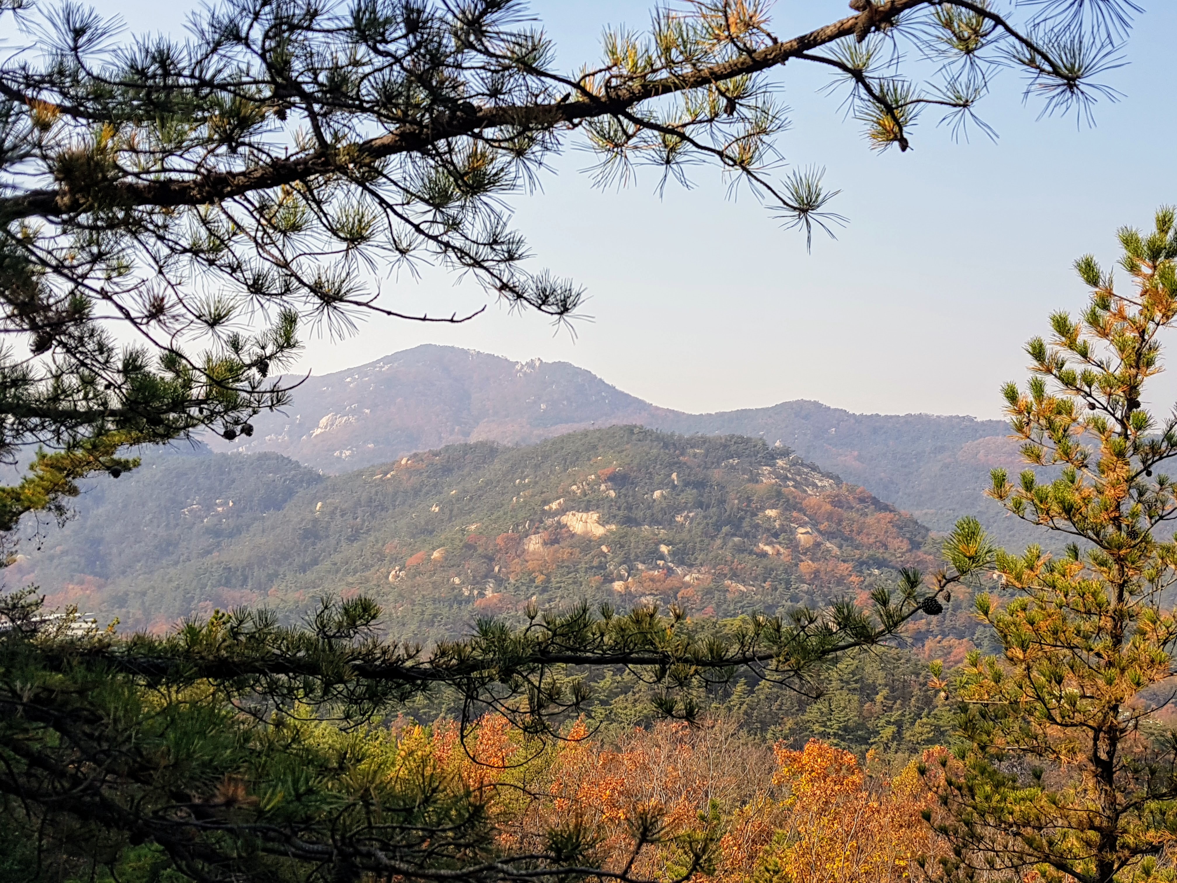
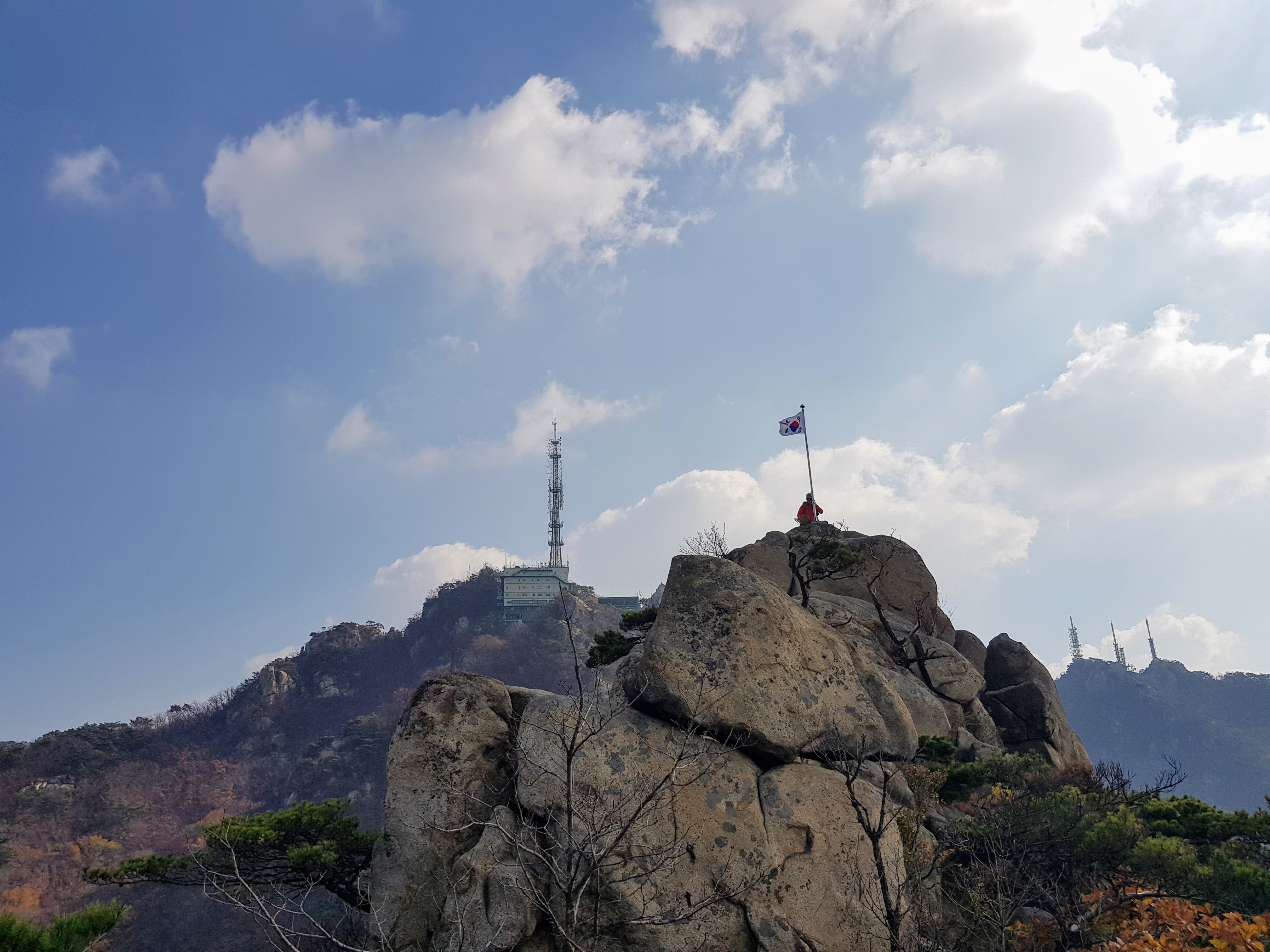
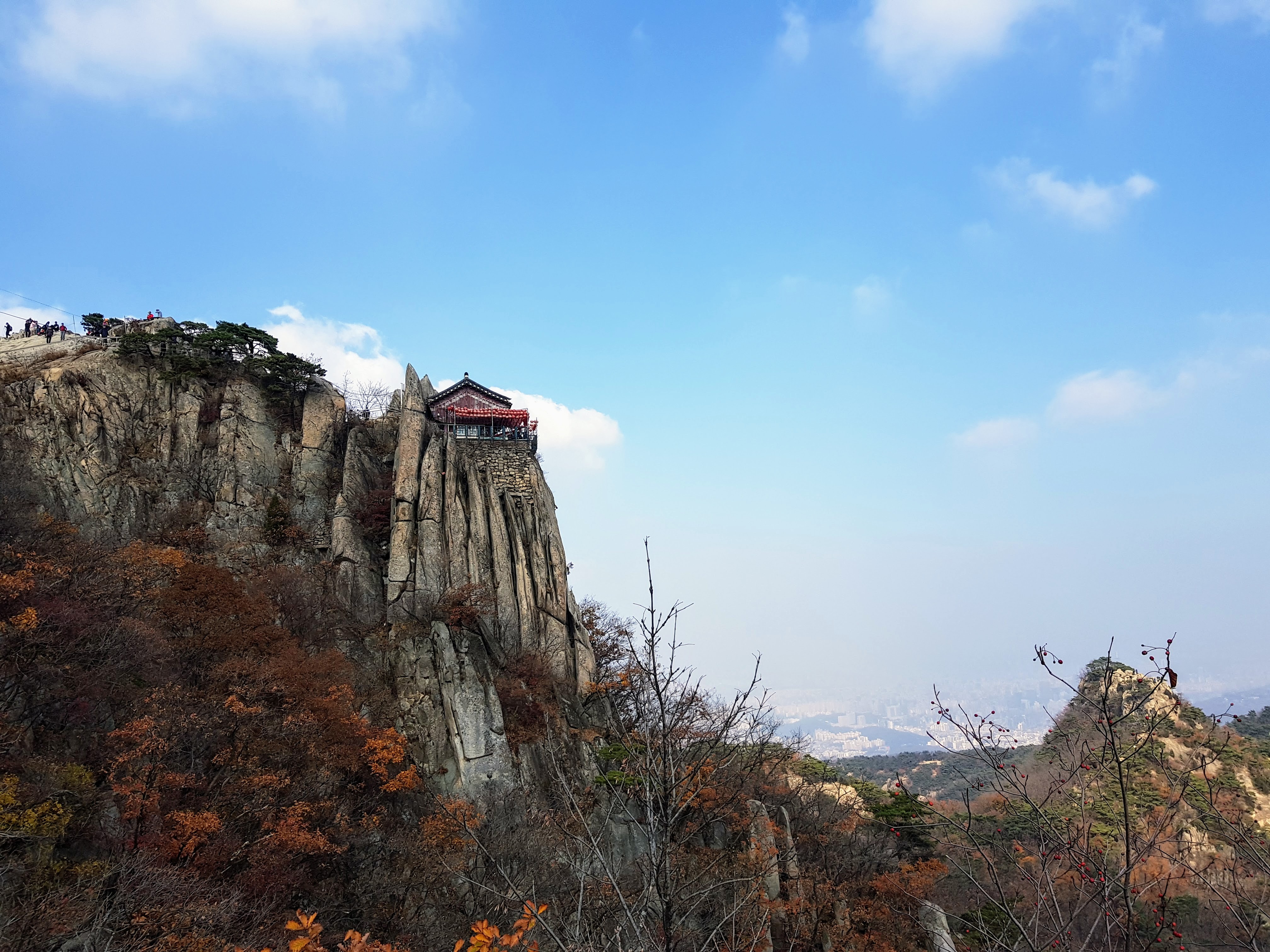
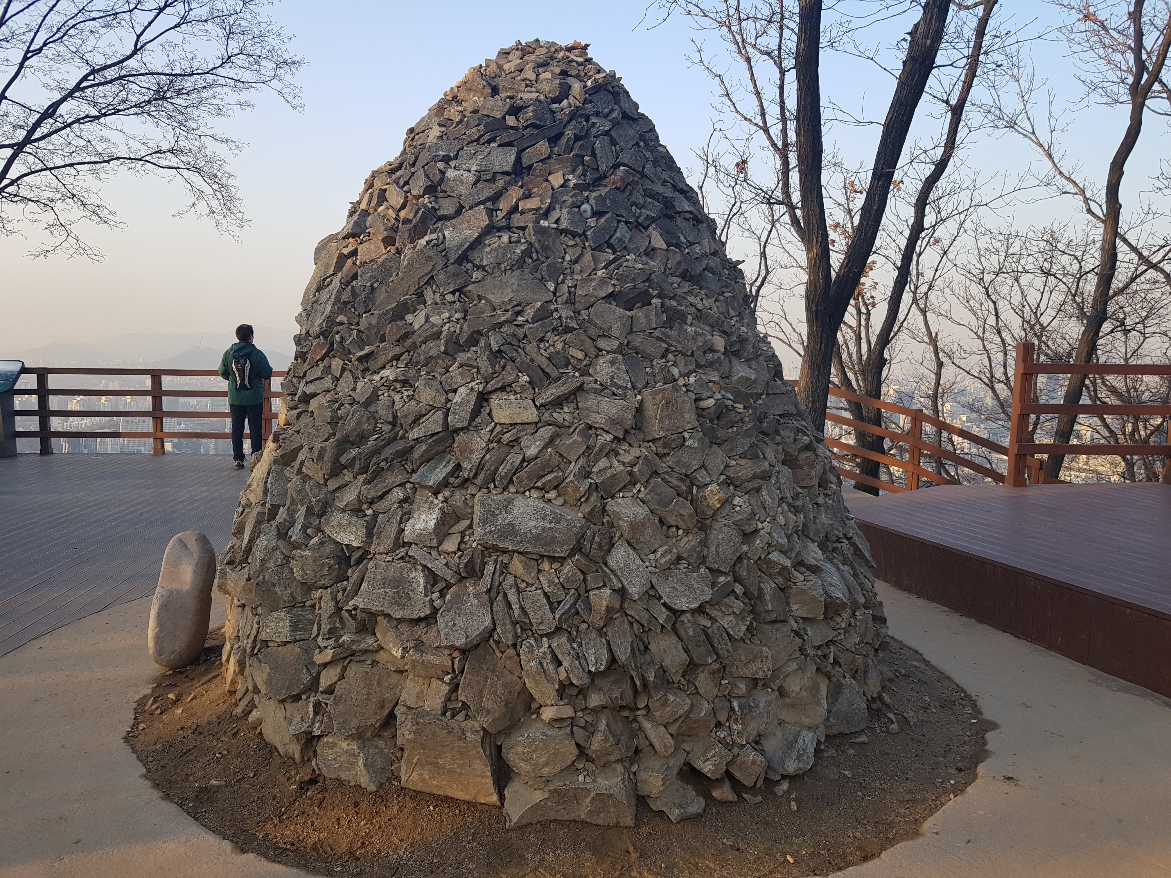
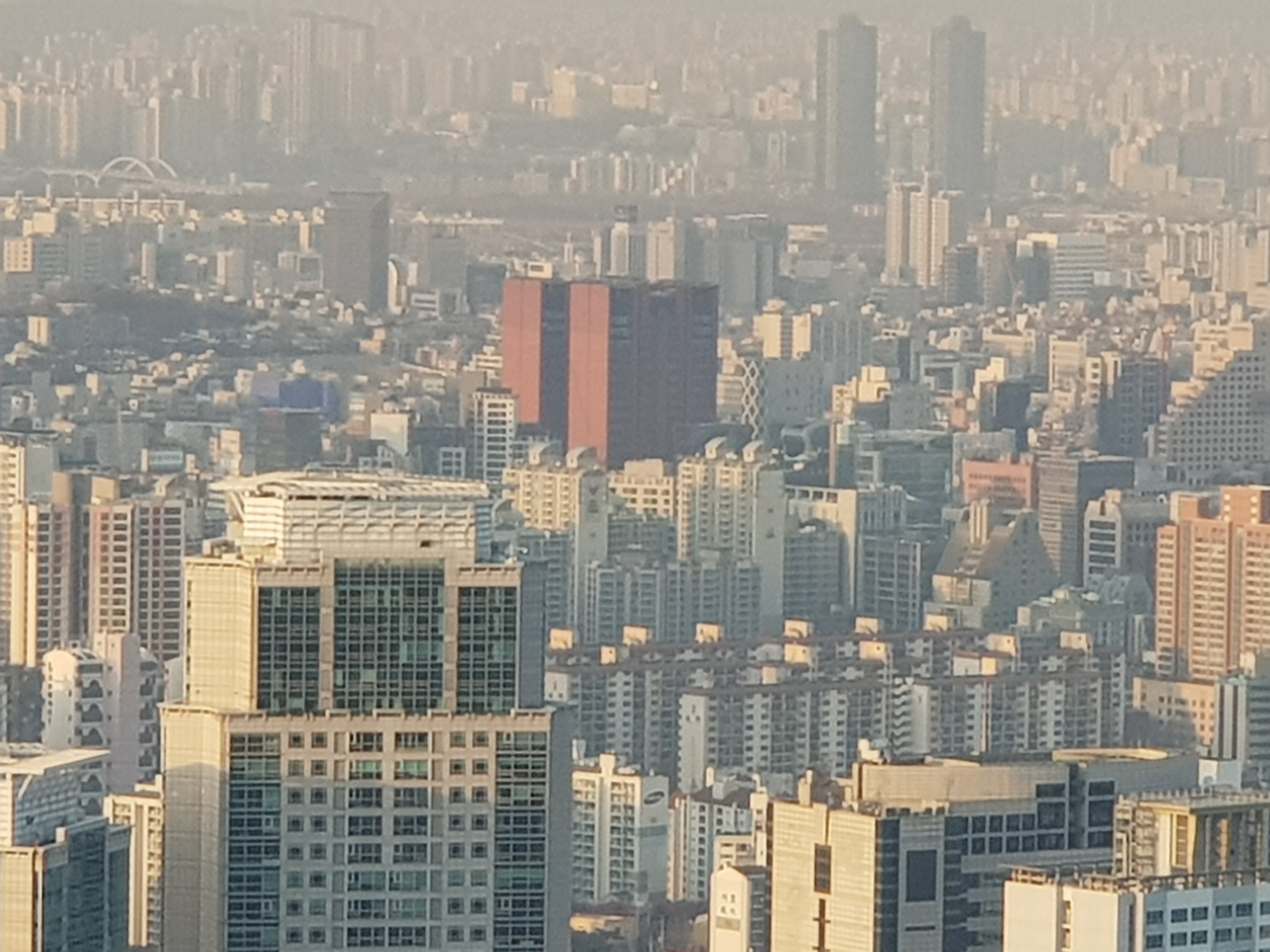
At last I came to a windowed pillbox: a sign of civilization. Soon I found the trail, and people too: hikers, some of them elderly, making their way up. If they were still ascending, I figured I was OK to follow the sign for Somang-Tap (tap means pagoda) just 150 meters on, rather than heading directly down toward home. I passed an elevation marker at 326 meters (1069 feet), then ascended a bit more and found the pagoda: a rock pile with commanding views of Seoul to the north.

Somang-Tap.
Look closely and you can see my apartment.

I now realize I could have followed an earlier trail fork up to the pagoda, without the scrabble through the leaves. If I ever do this again, I’ll know better. But that’s part of the fun: heading up into a mountain whose contours are uncertain and knowing you’ll just have to figure it out.

I grew up doing that on the ridges around Lucas Valley, in Marin County, California, and I learned then that you can never get too lost: just head down, and eventually you’ll find your way out. The same holds true for Seoul’s mountains, though they’re more formidable than Marin’s gentle swells. Still, back then I didn’t have a phone with a GPS and an emergency dialer.

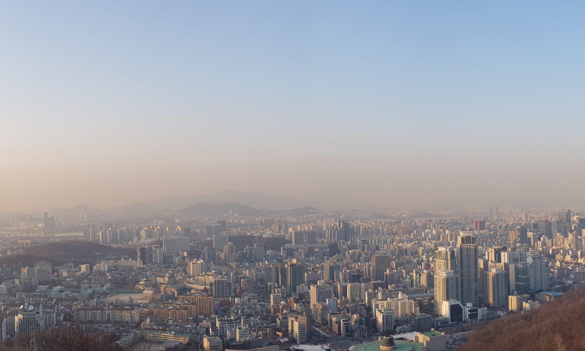
From the peak, it was a long descent on mostly well-groomed trails, often with stairs, past the usual sorts of Korean mountainside exercise parks, until I stepped out of the woods and into the bright lights of Gangnam.

I had done it. Granted this wasn’t exactly Amundsen at the pole, but I’d rendered known what before had been a blank space on my own little map of the world. I hadn’t been sure whether you could get from one side of that mountain to the other. It turns out you can.

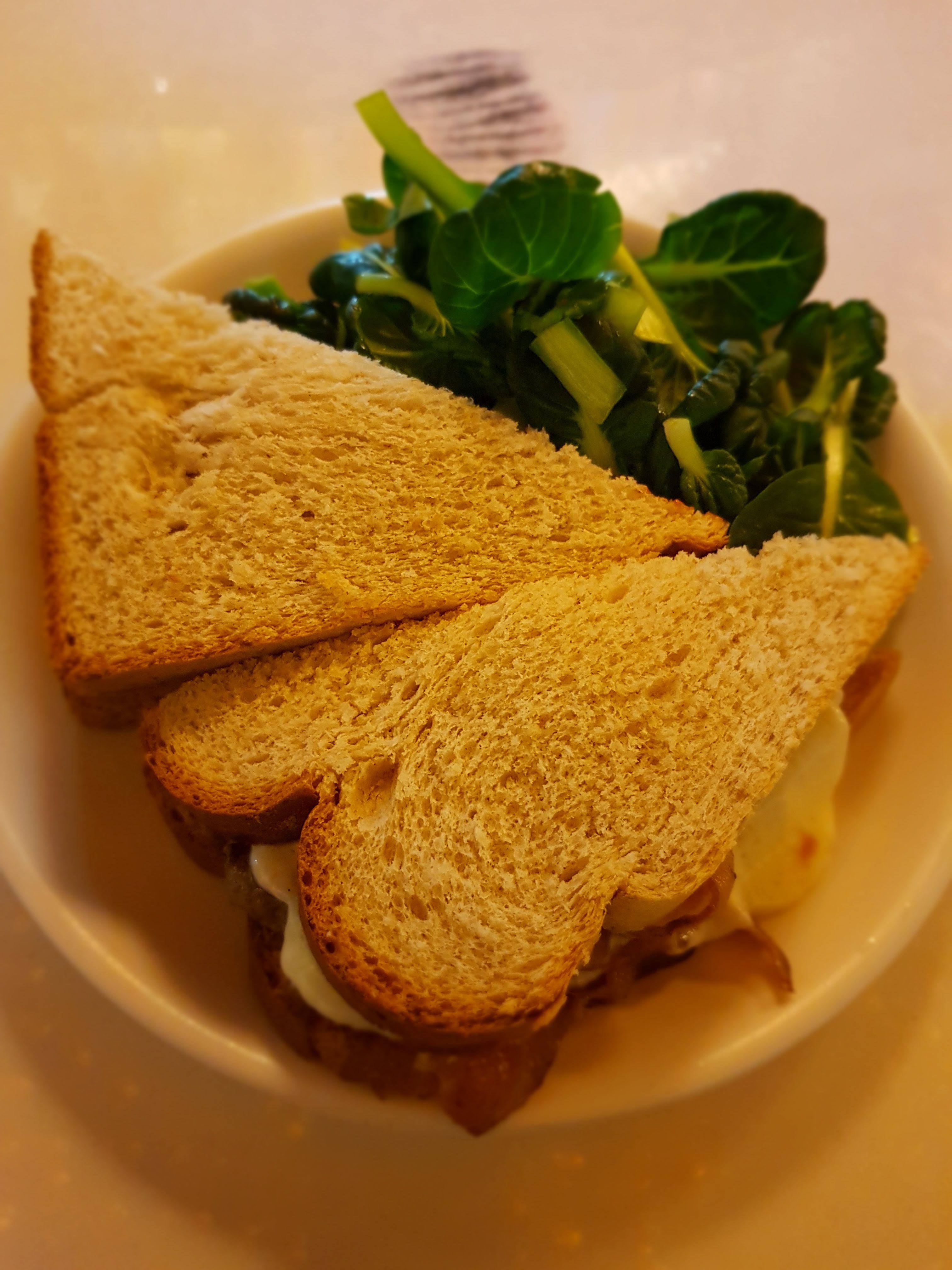
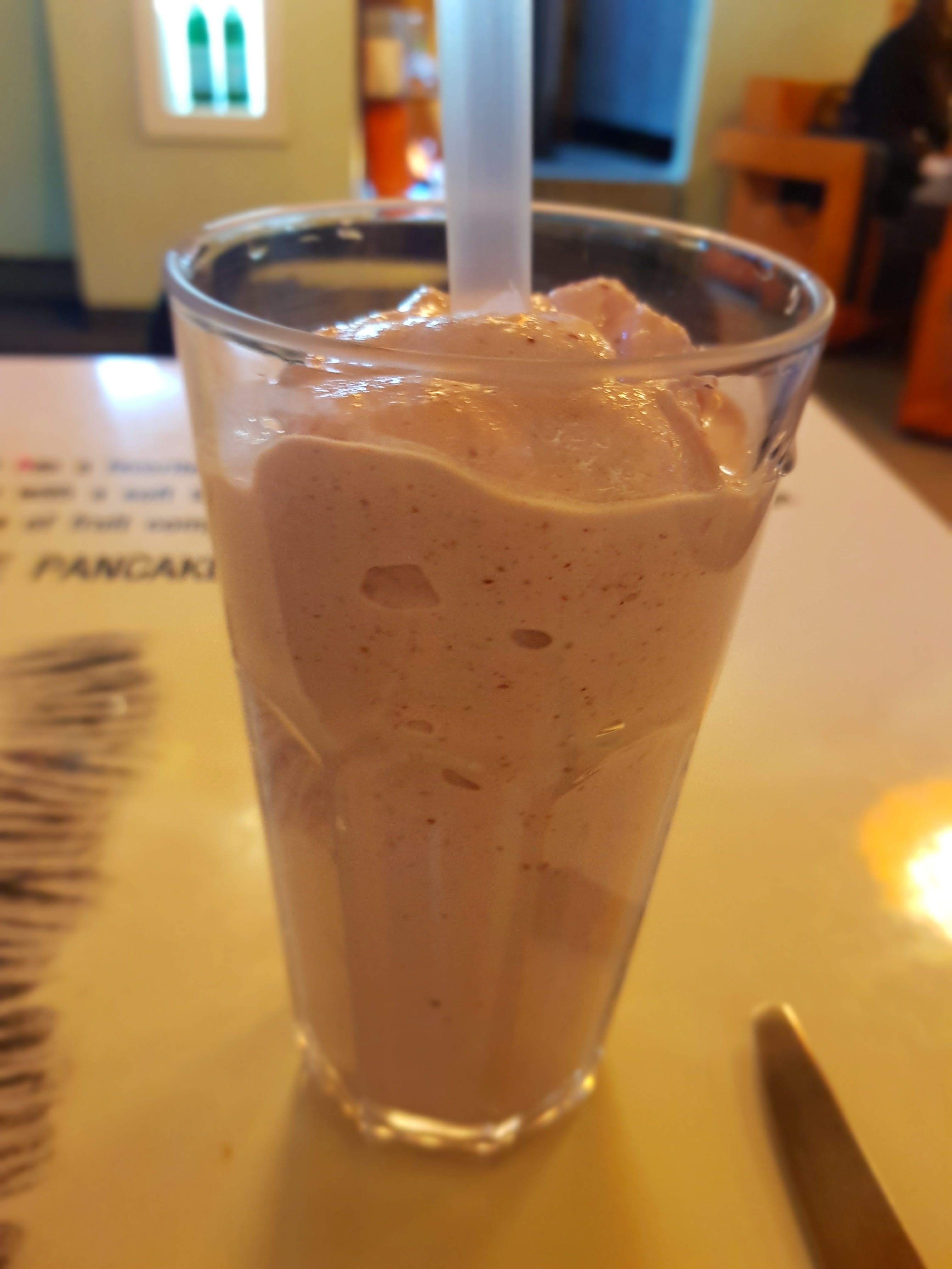
And once you do, you can take yourself to Butter Finger Pancake and get yourself a burger with barbecue sauce and a strawberry milkshake. Which is exactly what I did.


Climbing Gwanaksan

On a cool, bright autumn day, my friend and I set off for a hike up Gwanaksan. We started at the entrance to the mountain near Seoul National University (after some morning confusion in which my friend went to the subway station for Seoul National University of Education instead). The road was thick with hikers in their gear, ready to take on Seoul’s second-highest mountain.


Armed with KakaoMap, we plotted a route. Everyone seemed to be headed along the road, but that looked like the longer way to the peak. If we cut across a stream and along the top of the SNU campus, there was a more direct trail.

We followed campus streets until KakaoMap indicated that we should make an abrupt turn up a steep embankment and into the woods.

That the trail was little more than lightly ruffled underbrush should have been an indication that we weren’t on the best of all possible routes. And we had somehow neglected the very obvious geometrical reality that a more direct route up a mountain is also a steeper route.

The hike was rough at first, but not impossibly so. It was just steep and not well marked. We climbed quickly, and soon we had spectacular views of the mountains and Seoul beyond.

But then things got tricky. Time and again we came to a granite outcropping with no clear way around, and each time the GPS showed that the path was straight up. These rocky passages were scary, with scrabbles along cliff edges and places where the only way forward was to grab a tree branch or a bit of rock and pull ourselves up. We kept going in part because the thought of turning back and going back down all these rocks was scarier than pushing on.

Eventually we came to a point of no return. There was a thick knotted rope hanging down a flat granite face, and also a kind of metal stirrup hanging from a chain, meant to be used as a foothold. It was dangerous. If we lost our grip, we would be falling straight down the rock, and the momentum would probably throw us further down still, over several succeeding cliffs. My friend went first and made it up, tugging hard and ignoring the stirrup. My adrenaline surging, I followed. There was no turning back now.

The hike continued, up over still more improbable rock faces, but at last our route merged with a more popular trail, and we were again surrounded by hikers. There were more passages with ropes and cables, several of them terrifying. I was glad I had my hiking gloves.

And then at last we emerged up at the peak, craggy and beautiful and topped with an elaborate weather and transmitter station.

It felt like getting back on solid ground after being at sea. From here on out, it was all marked trails with built staircases or stairs cut into the rocks, as we made our way to the spectacular Yeonjuam shrine.

We watched a cat leap among the cliffs, then made our way up, stopping to buy popsicles before entering the shrine and watching people bow as an amplified monk chanted.

From there, it was a long walk down the mountain again, this time on a much longer and less difficult path, until at last we emerged in Gwacheon and had ourselves a well-earned dinner of galbi-tang (beef rib stew).

Today, absolutely everything hurts, especially my right ankle, which I twisted on the long walk down when I was tired, and my right wrist, which took a lot of weight on those desperate tugs over boulders. Korean mountains are not high, but they’re no joke. I’m glad I took on that particular route up Gwanaksan, and I hope I never do it again.